Mystery Surrounds NASA's Secret Mission in Africa
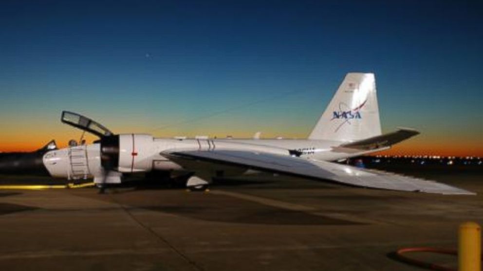
A NASA official recently confirmed that one of the agency’s aircraft had been spotted on an American military airstrip in eastern Africa a few weeks ago, but like a series of U.S. military officials, declined to say what the space agency’s high-tech bird was doing there.
“I really can’t give you any of the details,” Jim Alexander, a NASA official with the WB-57 High Altitude Research Program, told ABC News. “You know, the airplane was there, you see it in the picture. But I really can’t tell you what it was for.”
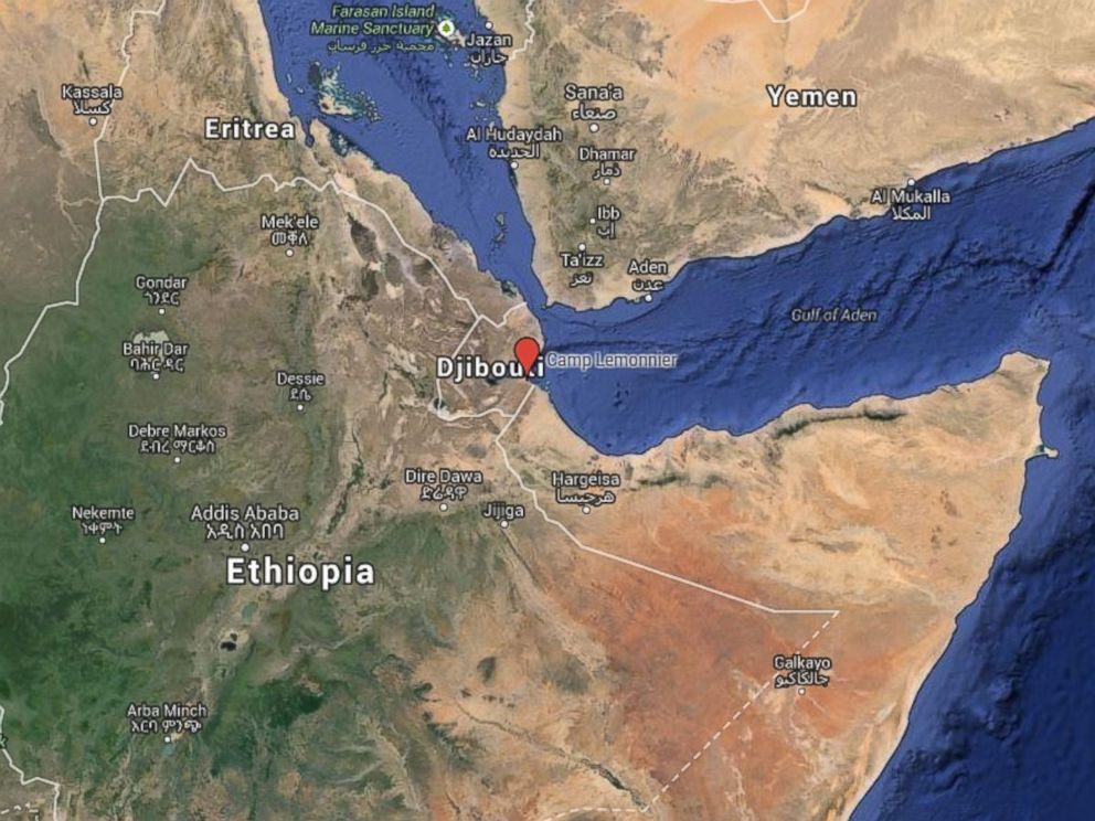
The broad-winged white plane belonging to the agency best known for putting a man on the moon was photographed by the satellite company Digital Globe back in September sitting next to some tilt-rotor aircraft at Camp Lemonnier in Djibouti, a development reported by the military blogWar Is Boring last month.
A NASA website that tracks the agency’s three WB-57s shows that one of its planes, number 926, was on a “foreign deployment” from July to November this year. A NASA handbook for the WB-57 posted online lists 14 international deployment sites for the aircraft around the world, but the American base near Djibouti isn’t one of them.
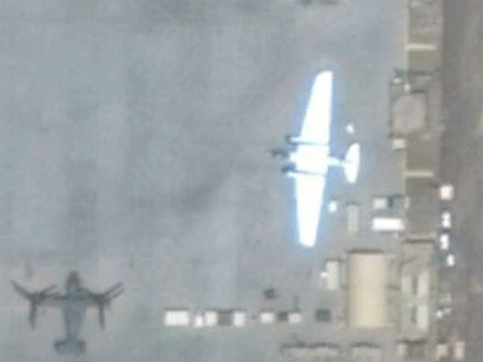
The Pentagon declined to answer any questions about “a NASA aircraft in Djibouti” and a spokesperson for the Air Force Space Command, which has a closer relationship with NASA, said they wouldn’t have operational knowledge of a mission on the continent. AFRICOM, the U.S. military’s Africa Command, would only say that “aircraft from a variety of agencies and nations perform diverse missions from Camp Lemonnier in support of U.S. and allied military peace and security operations in the region, which spans East Africa and the Mideast.”
“As a matter of policy, we do not discuss details of operations,” AFRICOM public affairs officer Tom Saunders told ABC News by email.
NASA’s Alexander said that their WB-57 aircraft “does a lot of work with a variety of different customers from the government, from industry, from academia,” including the Defense Department. “Anybody who needs to fly something high,” he said.
Do you have information about this or another story? CLICK HERE to send your tip in to the Investigative Unit.
Why Upheaval in Burkina Faso Matters to US National Security
US Airstrike in Somalia Targeted Al Shabaab’s Top Leader
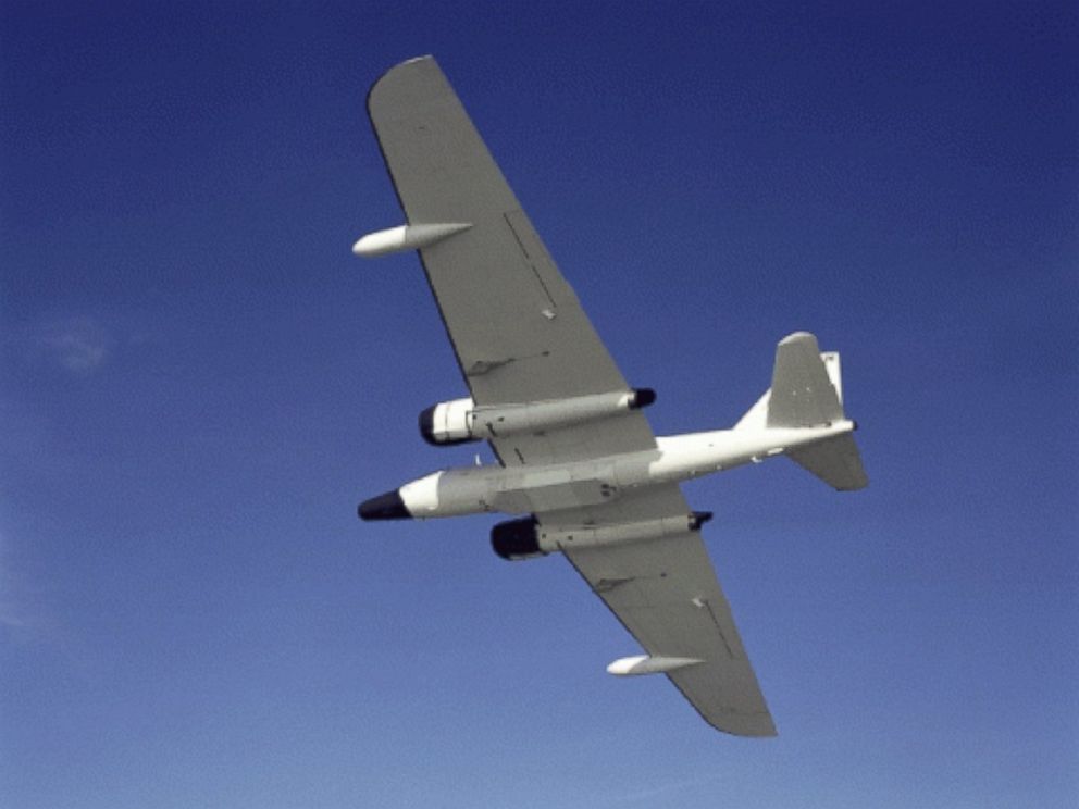
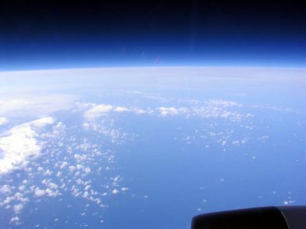
According to NASA’s website, the WB-57s have been flying research missions “since the early 1970s and continue to be an asset to the scientific community with professional, reliable, customer-oriented service designed to meet all scientific objectives.” A government website devoted to the converted old bombers describes a mission in Costa Rica to “explore the tropical upper troposphere and lower stratosphere” and another to collect cosmic dust from comets and asteroids in the Earth’s upper atmosphere, among many others. A variation of the aircraft was used to gather air samples from above-ground nuclear tests conducted “by other countries,” according to an Air Force fact sheet.
But as War Is Boring noted, the military may be interested in more than just scientific objectives, as the plane can fly nearly as high as the famed U2 spy plane and carry more weight – including an array of high-tech imagery and communications equipment.
One previous mission was described by Arati Prabhakar, the head of the military’s fringe-tech specialists at the Defense Advanced Research Projects Agency, to the House subcommittee on Intelligence earlier this year as a kind of mass, three-dimensional terrain mapping.
She said that a WB-57 was deployed to Afghanistan for a few months beginning in late 2010 and “collected” over 70,000 square kilometers of “terrain data” – information on about 10 percent of the country – using a system called High-Altitude LIDAR Operations Experiment (HALOE). LIDAR, or Light Detection and Ranging, uses light from a “pulsed laser” to create “precise, three-dimensional information about the shape of the Earth and its surface characteristics,” according to the National Oceanic and Atmospheric Administration.
“HALOE provided forces in Afghanistan with unprecedented access to high-resolution 3D data, and it collected orders of magnitude faster and from much longer ranges than conventional methods,” Prabhakar said, according to written testimony. Given 90 days, Prabhakar said she was confident the system could’ve mapped half the country.
A civilian who worked with the WB-57 program in Afghanistan, and who asked not to be identified due to the sensitive nature of some of the WB-57’s missions, told ABC News the plane is highly-customizable, using sometimes “one-off” configurations depending on the objectives of the project.
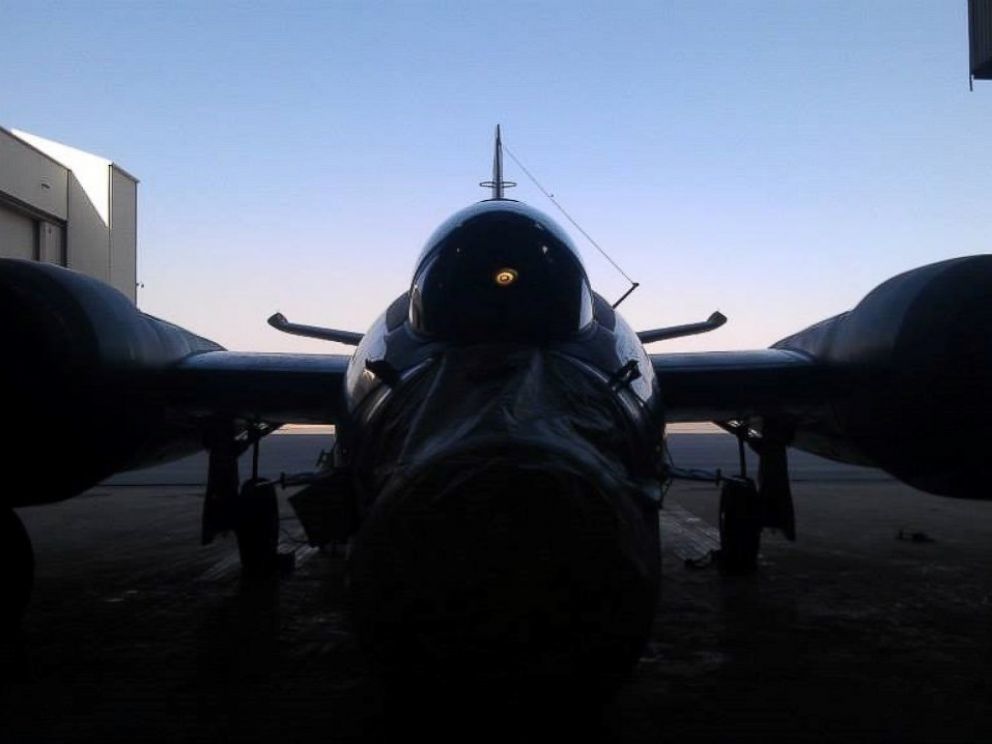
Whereas unmanned and manned surveillance platforms are often used for specific intelligence-gathering missions or to help put together individual “target packages” for U.S. special operations, the civilian guessed the WB-57 was in Africa to give the military a more “big picture, high-altitude, lower-level resolution” look at the landscape in the region -– like it did in Afghanistan -– for use whenever called upon in future operations there.
But the civilian admitted it was just a guess and the WB-57 can carry any number of sensor payloads. And for now, the military isn’t saying any more.
Whatever the mission was, it appears to be over. According to NASA, all three WB-57s are now back in the U.S., with their status listed as “inactive.”
No comments:
Post a Comment